Floodplain 101 Along the North Canadian by Shawnee
October 16, 2025
October 16, 2025
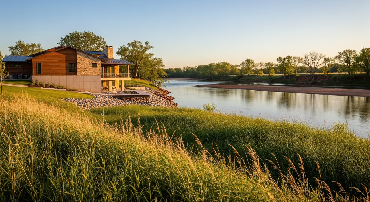
Owning acreage along the North Canadian River can be a gift for grazing, crops, wildlife, and views. It can also raise smart questions about flood risk, permits, and insurance. If you’re buying or selling farm, ranch, or large-acre parcels near Shawnee, you want clear, practical guidance. This guide breaks down maps, rules, and next steps so you can move forward with confidence. Let’s dive in.
FEMA maps identify Special Flood Hazard Areas where there is a 1 percent annual chance of flood. These areas are commonly called the 100-year floodplain, and they are shown on Flood Insurance Rate Maps. Lenders often require flood insurance for structures in these areas, and FEMA notes that many claims still come from properties outside mapped zones. Understanding your true risk helps you protect your investment and plan improvements wisely.
Start with FEMA’s Map Service Center to see whether your parcel intersects the SFHA and to print a FIRMette for your records. This is the authoritative source for current flood maps and panel dates. Search the FEMA Map Service Center.
Then look at real-time and historical river data. The USGS gage on the North Canadian River at Shawnee (station 07241800) shows current stage, recent peaks, and long-term patterns that help you understand local high-water behavior. Check the USGS North Canadian River gage at Shawnee.
If a structure is shown in the SFHA but sits on natural high ground, you may be able to request a FEMA Letter of Map Amendment. If fill has been placed, a Letter of Map Revision based on Fill could apply. See FEMA’s guidance on changing your flood zone.
If your acreage is in unincorporated Pottawatomie County, the county floodplain office handles permits for work inside mapped flood areas and provides forms like elevation certificates and no-rise documentation. Visit Pottawatomie County Emergency Management.
Inside Shawnee city limits, the City’s floodplain and stormwater team administers local rules and participates in FEMA’s Community Rating System. The City has noted a Class 6 CRS rating in its public materials, which can translate to an insurance discount for eligible properties in the city. Always confirm the current class before you bind a policy. Review Shawnee’s flood and floodplain management page.
Agricultural buildings are not automatically exempt from floodplain standards. New or substantially improved barns, poultry houses, and confinement buildings in the SFHA typically must be elevated or dry floodproofed to the BFE. Limited wet-floodproofing or variances may be considered for certain low-value or seasonal uses if they meet safety criteria. See FEMA’s guidance for agricultural and accessory structures.
Plan carefully for wells, septic systems, and utility service. Overbank flooding can inundate or contaminate onsite systems, and repairs or new installations must follow local standards. Ask where these systems sit relative to mapped flood zones and whether they have been inundated.
Finally, think about access. During high water, low crossings, culverts, and secondary driveways can fail first. Identify alternate routes and consider improvements that meet county permitting requirements.
If a federally backed mortgage is tied to a structure in the SFHA, lenders generally require flood insurance. Premiums depend on the flood zone, the elevation of the lowest floor relative to BFE, and community programs like CRS that can lower costs for properties within city limits. Outside the SFHA, insurance may still be a wise choice, since many claims arise from areas mapped as moderate or low risk.
If you believe the map overstates risk for your specific structure, a survey-based request to FEMA may remove the mandatory purchase requirement. A licensed surveyor or engineer typically prepares the elevation documentation, and FEMA publishes timelines for review. Read FEMA’s “Change Your Flood Zone” overview.
Floodplain due diligence does not have to be complicated. When you combine FEMA maps, local permit guidance, and real-time river data, you can make confident decisions about buying, selling, or improving acreage along the North Canadian. If you want a steady hand to coordinate the moving parts, connect with our team at Access Real Estate for a clear, step-by-step plan.
Stay up to date on the latest real estate trends.


Real Estate
Give us a call when you are ready to make a move. We would be honored to assist with any and all of your Oklahoma Real Estate needs.